Salem

Shoreline, Connecticut

VIEW 17 COMMUNITY LISTINGS

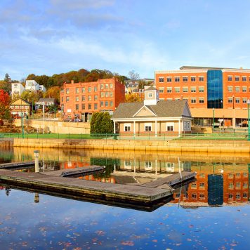
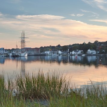
The charming town of Salem, situated in the heart of Southeastern Connecticut, is a rural bedroom community with easy access to nearby metropolitan areas.

Situated in the heart of Southeastern Connecticut, Salem is a low-key, rural New London County community centrally located on the historic Governor’s Highway. The town was incorporated in 1819 from lands of Colchester, Montville and Lyme and encompasses about 30 square miles. This quiet bedroom community is home to 4,200 residents who contribute to the region’s arts, education, technology and manufacturing centers.

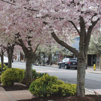
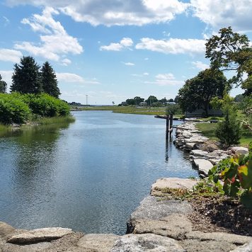
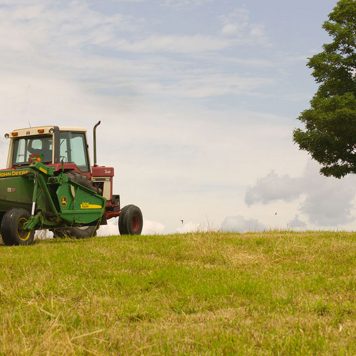
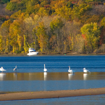
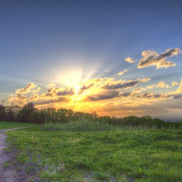
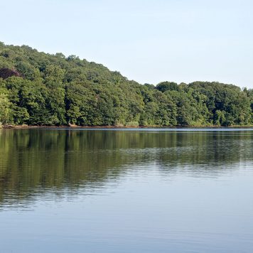
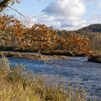
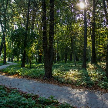
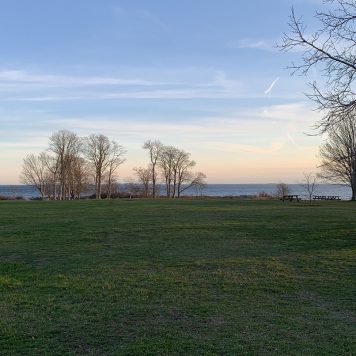
Those who reside in Salem covet the community’s relaxed lifestyle and scenic countryside dotted with farms, fields, woodlands and recreational facilities. Commuters enjoy easy access to major highways and state roads leading to major metropolitan areas including Willimantic, New London and Norwich and Hartford.

Community members enjoy a variety of local clubs and organizations, including the Adventure Club, Salem Historical Society, VFW, Friends of the Library, Salem Seniors, Salem Mom’s Club, Boy/Girl Scouts and Salem Land Trust.

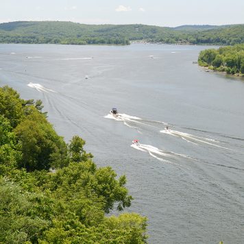
Salem also offers a wide variety of recreation opportunities for residents through its myriad town-sponsored programs and facilities which promote not only a strong sense of community but an active and healthy lifestyle.

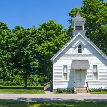
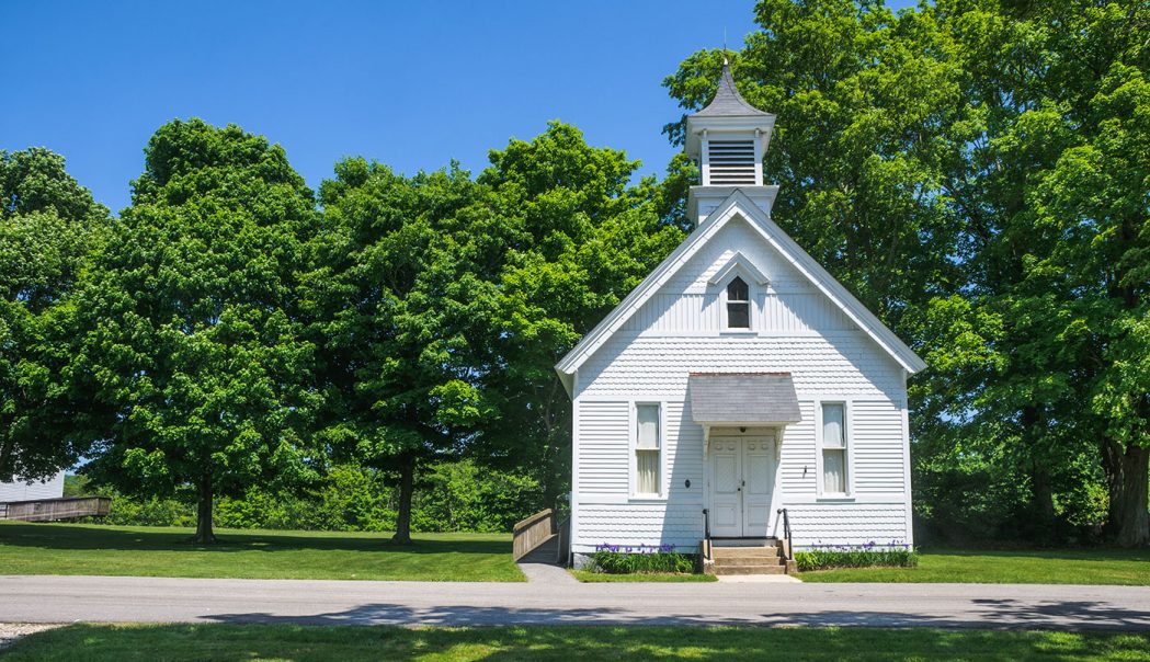
Salem once had several schoolhouses within its borders, one of which still stands on White Birch Road. In response to a growing student population, the Salem School was built in 1940 and expanded over the decades. Students attend Salem Elementary School (K-8) and the Regional Multi-Cultural Magnet School in New London for grades K-5. High School students have the option of attending East Lyme High School or one of several neighboring technical high schools or magnet schools.

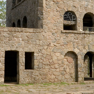
Residents treasure their town’s heritage, and several sites are listed on the National Register of Historic Places, including the circa 1835 Abel H. Fish House, Salem Historic District, Ebenezer Tiffany House and the 150-acre Woodbridge Farm.
Read MoreRead Less

Featured Listings

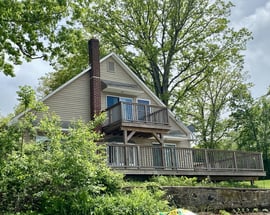
629 Hartford Road
Salem, CT $60,000

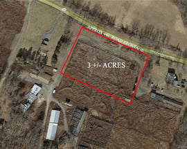
629 Hartford Road

Salem, CT

$60,000
  • 1.00 Acres
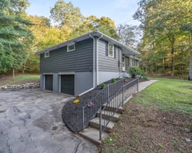
169 Scott Hill Road
Salem, CT $799,000

169 Scott Hill Road

Salem, CT

$799,000
  • 3 Beds
  • 2/1 Baths
  • 3,000 Sqft
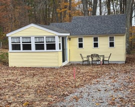
82 Corrina Lane
Salem, CT $740,000

82 Corrina Lane

Salem, CT

$740,000
  • 4 Beds
  • 3/1 Baths
  • 3,794 Sqft
12 Syleo Lane
Salem, CT $725,000

12 Syleo Lane

Salem, CT

$725,000
  • 3 Beds
  • 2/1 Baths
  • 2,000 Sqft
89 Harris Road Extension
Salem, CT $685,000

89 Harris Road Extension

Salem, CT

$685,000
  • 5 Beds
  • 4/1 Baths
  • 4,518 Sqft
220 Music Vale Road
Salem, CT $625,000

220 Music Vale Road

Salem, CT

$625,000
  • 4 Beds
  • 2 Baths
  • 2,728 Sqft
422 Forsyth Road
Salem, CT $620,000

422 Forsyth Road

Salem, CT

$620,000
  • 4 Beds
  • 2/1 Baths
  • 2,342 Sqft
135 Old Colchester Road
Salem, CT $450,000

135 Old Colchester Road

Salem, CT

$450,000
  • 4 Beds
  • 3 Baths
  • 1,370 Sqft

Salem

Area Map

Salem is within Shoreline, Connecticut and borders East Haddam, East Lyme and Lyme.
Loading...

Featured Communities Within

Shoreline

view all communities +-
  • 175 Branford
  • 15 Chester
  • 91 Clinton
  • 32 Deep River
  • 21 Durham
  • 62 East Haddam
  • East Haven
  • 118 East Lyme
  • 63 Essex
  • 56 Griswold
  • 183 Groton
  • 154 Guilford
  • 43 Haddam
  • 265 Hamden
  • 34 Killingworth
  • 78 Ledyard
  • 21 Lyme
  • 155 Madison
  • 290 Milford
  • WordPress database error: [Invalid GIS data provided to function st_geomfromtext.]
    SELECT ST_AsText(ST_Envelope(ST_GeomFromText('LineString(41.493407534686256 -72.0843625473258,41.48852131584093 -72.0792127060172,41.483891926449736 -72.07603697054357,41.47881207697105 -72.07354788057775,41.47450353813531 -72.07294706575841,41.46871549789286 -72.07140211336583,41.465435379026246 -72.07037214510412,41.46125459484816 -72.07054380648107,41.455979990294956 -72.07200292818517,41.45347118638008 -72.07552198641271,41.45019029638651 -72.07981352083654,41.44390817235868 -72.08607916109533,41.44139890157998 -72.08659414522619,41.43908256550977 -72.08770994417638,41.43824609049984 -72.09011320345373,41.436058335657854 -72.09208730928869,41.432776565126915 -72.09414724581212,41.428593675920666 -72.09603552095861,41.42460359200008 -72.09603552095861,41.417523807415535 -72.09474806063146,41.413983625691095 -72.09449056856603,41.411022598257084 -72.09491972200841,41.40806143585493 -72.09560636751623,41.41733071156951 -72.09474806063146)),((41.42527271202332 -72.0951342987296,41.425884105456795 -72.09968332521886,41.42581974852439 -72.10114244692296,41.426592027503354 -72.1023011612174,41.42672073977349 -72.10646394960851,41.426849451788456 -72.10749391787023,41.42591628389909 -72.11371664278478,41.42536924821136 -72.11736444704503,41.42495092369338 -72.12006811373205,41.42482220791489 -72.1231580185172,41.424468238208384 -72.12624792330236,41.42401772851847 -72.12946657412023,41.42369593396917 -72.1315694259879,41.42218347822642 -72.14094457065319,41.4207675302862 -72.14957055484508,41.42015608867692 -72.15377625858044,41.41960900446257 -72.15660867130016,41.418225182643276 -72.16635045444225,41.41790335938967 -72.1705561581776,41.41644477885204 -72.18012660862125,41.41533445145205 -72.18832343937076,41.41358839664965 -72.20003986283355,41.41363667344636 -72.2037949554544,41.41157229735105 -72.2190339331889,41.41818608952035 -72.22375462105511,41.42283404978006 -72.22713051942009,41.42585889573349 -72.2293835749926,41.437046065041166 -72.23758644207356,41.44021502009289 -72.23986095531819,41.44325795924013 -72.24218435249823,41.44634619025052 -72.22156352959173,41.451878903226124 -72.2220785137226,41.456060291815724 -72.22233600578802,41.4572503300623 -72.21235818825262,41.46586959962551 -72.21402819558926,41.48111099661488 -72.21643145486661,41.48783022095739 -72.21707518503018,41.492684346611675 -72.2175472538168,41.49699167669893 -72.21801932260342,41.50705171237477 -72.22299750253507,41.517752845965134 -72.22175295755216,41.51592124588368 -72.2131698887045,41.515053627753936 -72.20999415323087,41.51343404617736 -72.20284449753223,41.51195581818482 -72.19293105301318,41.51266280100158 -72.19267356094775,41.512952019019345 -72.19198691543994,41.5137232607492 -72.19207274612842,41.514141012849485 -72.19142901596484,41.51388393495301 -72.18971240219531,41.51362685603551 -72.18833911117969,41.5131126951375 -72.18696582016406,41.512759207151085 -72.18580710586963,41.512823477837635 -72.18490588364062,41.51272707178385 -72.1831892698711,41.512855613157 -72.18228804764209,41.51349831619388 -72.18237387833057,41.51449449329004 -72.18224513229785,41.51520144838009 -72.18237387833057,41.51574772657023 -72.18271720108447,41.51613333192855 -72.1818588941997,41.516261866537505 -72.18074309524951,41.51613333192855 -72.1794985502666,41.51587626194493 -72.17821108993945,41.515490655055075 -72.17696654495654,41.51500864321219 -72.17572199997363,41.514623031153455 -72.17350299215511,41.51436595517135 -72.172043870451,41.5137232607492 -72.17071349477962,41.512919883747834 -72.1700268492718,41.51218076810043 -72.16848189687923,41.51153805198196 -72.16719443655208,41.51070251148799 -72.16582114553646,41.510156190718796 -72.16380412435726,41.50967413915257 -72.16157252645687,41.50935276944762 -72.16011340475276,41.50883857460148 -72.15878302908138,41.50816368766824 -72.15616519308284,41.50764948337801 -72.15500647878841,41.507103136844876 -72.15324694967464,41.5070067222722 -72.15183074331478,41.50658892413157 -72.15101535177425,41.506460370315125 -72.14989955282405,41.506074707334356 -72.14895541525081,41.50568904205638 -72.14779670095638,41.5057211809173 -72.14663798666194,41.50539979159038 -72.1456938490887,41.505014122292316 -72.1445780501385,41.50485342607349 -72.14380557394222,41.50443561403805 -72.14320475912288,41.50414635797267 -72.14200312948421,41.50414635797267 -72.14028651571468,41.50443561403805 -72.13878447866634,41.504821286781876 -72.13711078024104,41.50485342607349 -72.13633830404476,41.50427491638347 -72.13565165853694,41.50366426165891 -72.13483626699642,41.503150021634674 -72.13402087545589,41.502603637134236 -72.13303382253841,41.502603637134236 -72.13183219289974,41.50276433893645 -72.1306734786053,41.50324644195029 -72.12968642568782,41.50302146099051 -72.12899978018001,41.502925040339896 -72.12835605001644,41.50318216175581 -72.1274119124432,41.50304881486738 -72.12633263789384,41.50285597350403 -72.12551724635331,41.50234172706077 -72.12513100825517,41.50211674295766 -72.12397229396073,41.50182747653369 -72.12251317225663,41.502052461641775 -72.12126862727372,41.50285597350403 -72.12058198176591,41.502695271929184 -72.11920869075028,41.50224530539802 -72.11783539973466,41.501248939809265 -72.11637627803056,41.50079896322805 -72.11543214045732,41.50034898352016 -72.11345803462235,41.50105609308589 -72.11199891291825,41.501923898818575 -72.11191308222978,41.501988180262074 -72.11109769068925,41.501956039548304 -72.1103681298372,41.50234172706077 -72.10968148432939,41.50266313156638 -72.10886609278886,41.5031452353337 -72.10796487055985,41.502084602307704 -72.10736405574052,41.501634631533165 -72.10697781764237,41.50121679872859 -72.10611951075761,41.50028470044953 -72.10654866419999,41.49967400809588 -72.10659157954423,41.49919187848572 -72.10590493403642,41.49899902563664 -72.10491788111894,41.49877805640657 -72.10377784356551,41.49826377758012 -72.1025332985826,41.497620923304304 -72.10201831445174,41.49684948975059 -72.10150333032088,41.49594947232479 -72.10081668481307,41.49537088308979 -72.10047336205916,41.49469585578328 -72.09944339379744,41.494374411736196 -72.09858508691268,41.49466371145037 -72.09781261071639,41.49517801886291 -72.09734054192977,41.49559589062867 -72.09601016625838,41.49604590336148 -72.09425063714461,41.496078047008474 -72.09090324029403,41.49537088308979 -72.08978744134383,41.494117255350005 -72.08772750482039,41.49347435991796 -72.08502383813338,41.493152909809176 -72.08386512383895,41.49267073165502 -72.0825776635118,41.489970467664385 -72.08086104974227,41.48810593398202 -72.07923026666121,41.48460175136237 -72.07682700738387,41.482833513880074 -72.075410801024,41.480197142945485 -72.07369418725447,41.47785003955389 -72.0733937798448,41.475567158824425 -72.07356544122176,41.47344497223073 -72.07322211846785,41.471515651398185 -72.07189174279647,41.46881450576505 -72.0704755364366,41.466338356734255 -72.0699176369615,41.460958463366396 -72.07088416822887,41.45951119943257 -72.07161372908092,41.45687387988197 -72.07298702009655,41.45529786944884 -72.0746178031776,41.45336800860126 -72.07732146986461,41.450280111818586 -72.08041137464977,41.44806059521697 -72.08255714186168,41.44548714758103 -72.08440250166393,41.44262406714509 -72.08624786146618,41.44024343217111 -72.08710616835094,41.4371003173211 -72.09049066771605,41.43571686826196 -72.09263643492797,41.43301423154584 -72.09486803282836,41.42963577741003 -72.09529718627074,41.426771997658626 -72.09499677886107)'))) AS `polygon`

  • 95 Montville
  • 118 Mystic
  • 516 New Haven
  • 147 New London
  • 16 Niantic
  • 51 North Branford
  • 93 North Haven
  • 20 North Stonington
  • Northford
  • 291 Norwich
  • 77 Old Lyme
  • 101 Old Saybrook
  • 56 Orange
  • 25 Preston
  • 17 Salem
  • 160 Southbury
  • 197 Stonington
  • 114 Waterford
  • 230 West Haven
  • 46 Westbrook
  • 60 Woodbridge
+-

Salem

Market Snapshot

Units Sold

October 2024

8 TOTAL UNITS

image description -33.3% image description -11.1% vs

Median Sales Price

October 2024 - Single Family Homes

$570K
image description +39.4% image description +68.0% vs

Percentage of Asking Price

October 2024 Single Family Homes

103%
image description -0.8% image description -2.8% vs
103%
image description -0.8% image description -2.8% vs
103%
image description -0.8% image description -2.8% vs
103%
image description -0.8% image description -2.8% vs