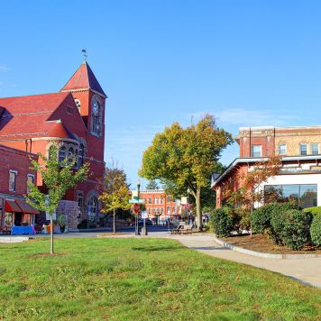
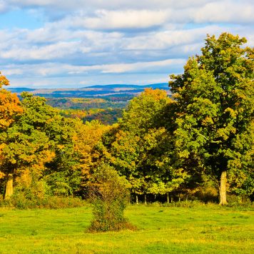
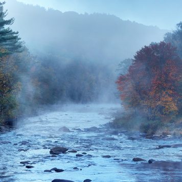
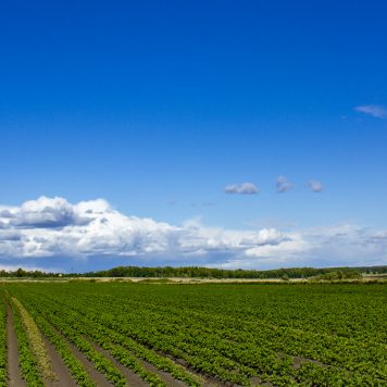
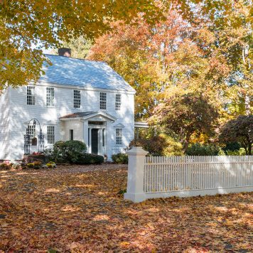
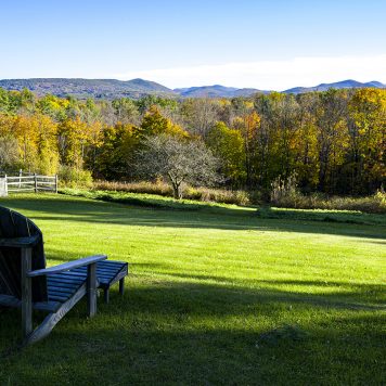
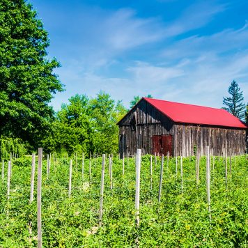
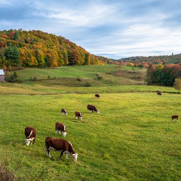
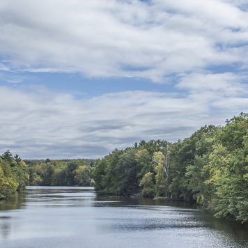
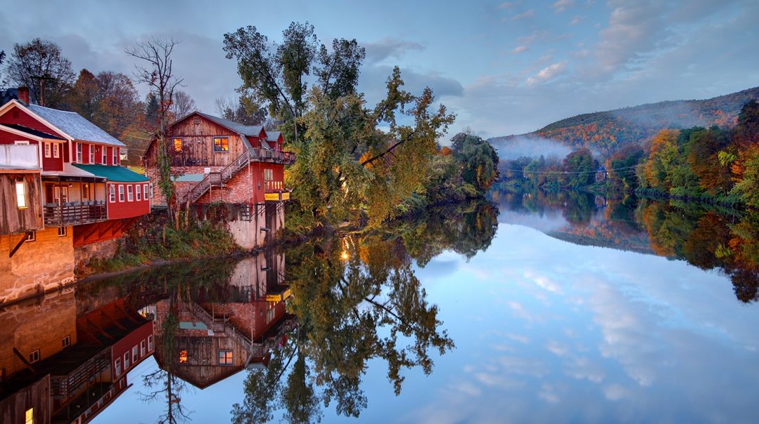
The town of Shelburne in Franklin County, Mass., lies along the eastern banks of the Deerfield River, which flows along the community’s southern and western borders. The community’s main body of town is characterized by farmland among the low hills, and old mills dot the area around Shelburne Falls. The town’s center is situated about five miles west of Greenfield and 39 miles north of Springfield.
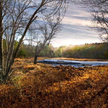
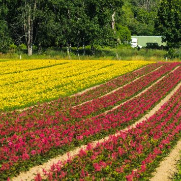
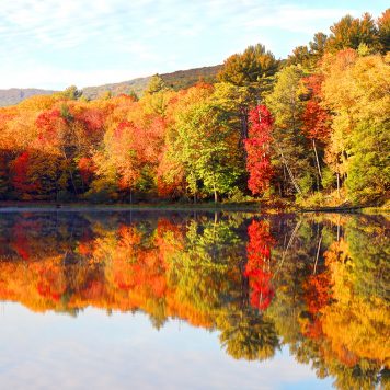
Natural beauty abounds throughout Shelburne. The highest point in town is found at Massaemett Mountain, which is also home to several small parts of the town’s state forest. The village of Shelburne Falls is known for its “Glacial Potholes,” a waterfall along the Deerfield River with numerous potholes along traces of large rock activity. Another popular attraction is the Bridge of Flowers, a circa 1908 seasonal footbridge with a garden of flowers covering it, which connects the towns of Shelburne and Buckland.
The nearest Amtrak service is in nearby Greenfield and the nearest expressway is Interstate 91, which can be accessed along Route 2. Students in Shelburne attend schools in the Mohawk Trail Regional School District, as well as several private, religious and charter schools located in the area.

