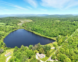
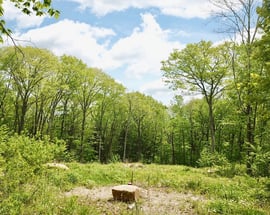
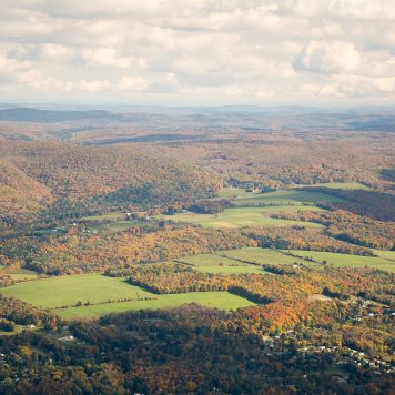
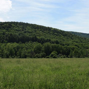
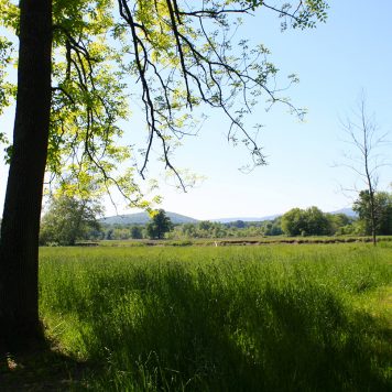
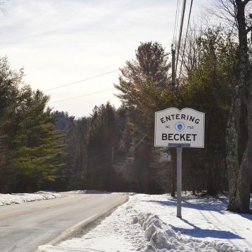
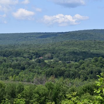
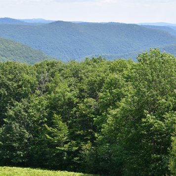
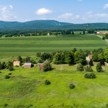
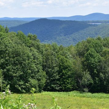
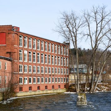
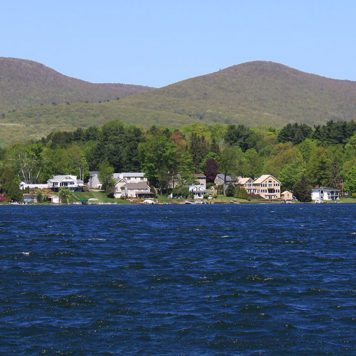
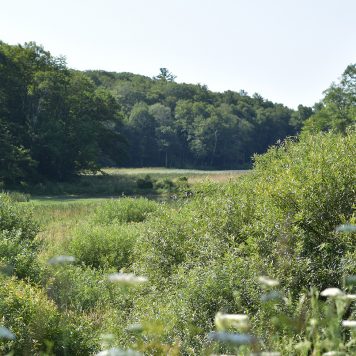
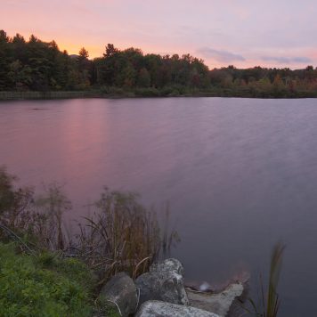
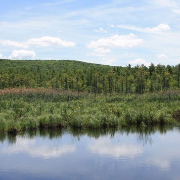
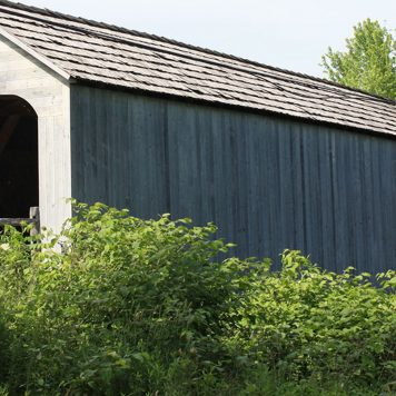
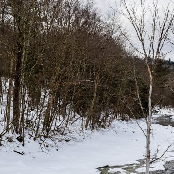
Situated in the southeastern part of the Berkshire Mountains, Sandisfield lies along the western banks of the Farmington River. The lovely Berkshire County town, which was settled in 1750 and incorporated in 1762, has deep roots in agriculture. Rich in unspoiled scenic beauty, rural Sandisfield comprises 53 square miles and is home to approximately 1,000 residents. The community is part of the Farmington River Regional School District along with neighboring Otis, and Berkshire Community College in Pittsfield and Sheffield is the nearest community college. Sandisfield has its own police station as well as two volunteer fire station and a local post office. The town is rich in natural resources, including marshy brooks and pristine ponds, lakes and rivers. It lies in the southeastern portion of the Berkshire Mountains, along the western banks of the Farmington River, and contains portions of the Sandisfield State Forest. The closest interstate to Sandisfield is the Massachusetts Turnpike (I-90), which passes north of town through Otis, and the nearest rail service is in Great Barrington. Bradley International Airport provides the nearest national air service to the community.
Situated in the southeastern part of the Berkshire Mountains, Sandisfield lies along the western banks of the Farmington River. The lovely Berkshire County town, which was settled in 1750 and incorporated in 1762, has deep roots in agriculture. Rich in unspoiled scenic beauty, rural Sandisfield comprises 53 square miles and is home to approximately 1,000 residents. The community is part of the Farmington River Regional School District along with neighboring Otis, and Berkshire Community College in Pittsfield and Sheffield is the nearest community college. Sandisfield has its own police station as well as two volunteer fire station and a local post office. The town is rich in natural resources, including marshy brooks and pristine ponds, lakes and rivers. It lies in the southeastern portion of the Berkshire Mountains, along the western banks of the Farmington River, and contains portions of the Sandisfield State Forest. The closest interstate to Sandisfield is the Massachusetts Turnpike (I-90), which passes north of town through Otis, and the nearest rail service is in Great Barrington. Bradley International Airport provides the nearest national air service to the community.
Situated in the southeastern part of the Berkshire Mountains, Sandisfield lies along the western banks of the Farmington River. The lovely Berkshire County town, which was settled in 1750 and incorporated in 1762, has deep roots in agriculture. Rich in unspoiled scenic beauty, rural Sandisfield comprises 53 square miles and is home to approximately 1,000 residents. The community is part of the Farmington River Regional School District along with neighboring Otis, and Berkshire Community College in Pittsfield and Sheffield is the nearest community college. Sandisfield has its own police station as well as two volunteer fire station and a local post office. The town is rich in natural resources, including marshy brooks and pristine ponds, lakes and rivers. It lies in the southeastern portion of the Berkshire Mountains, along the western banks of the Farmington River, and contains portions of the Sandisfield State Forest. The closest interstate to Sandisfield is the Massachusetts Turnpike (I-90), which passes north of town through Otis, and the nearest rail service is in Great Barrington. Bradley International Airport provides the nearest national air service to the community.


