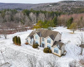
Cheshire, MA
$699,000
Berkshire County, Massachusetts
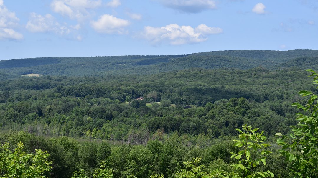
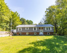
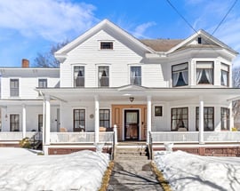
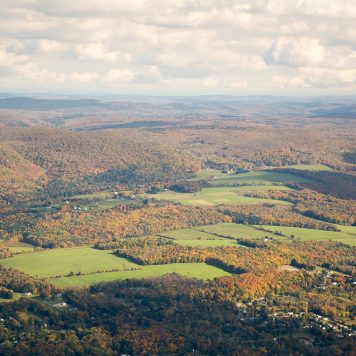
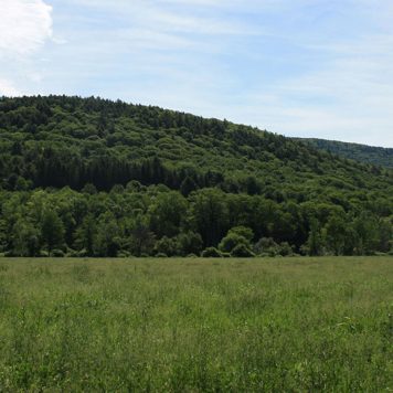
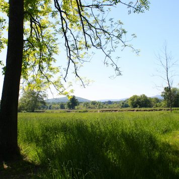
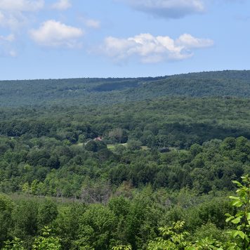
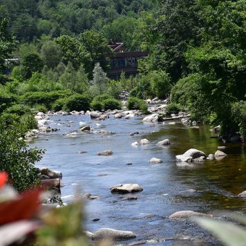
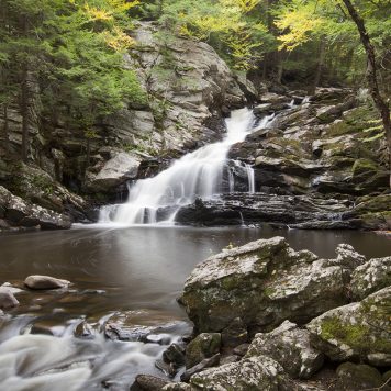
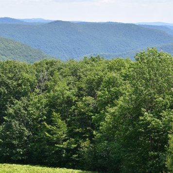
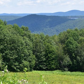
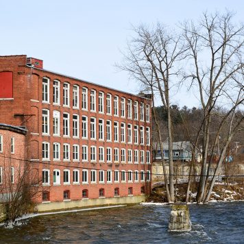
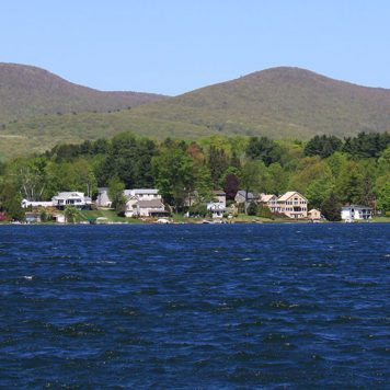
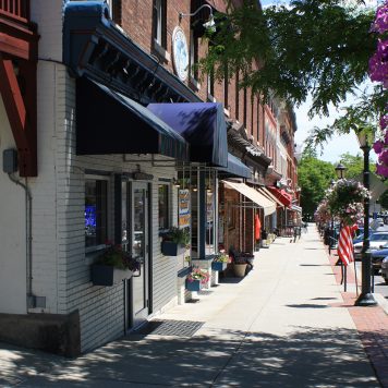
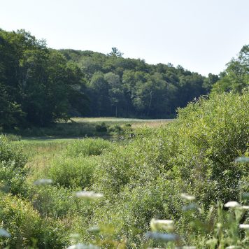
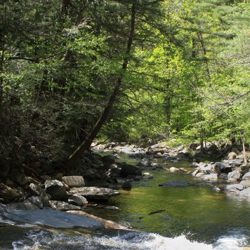
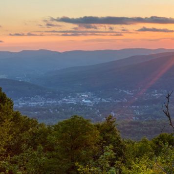
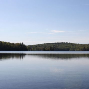
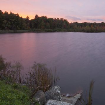
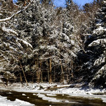
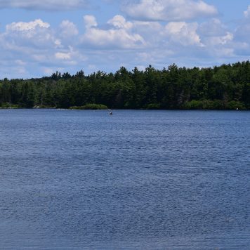
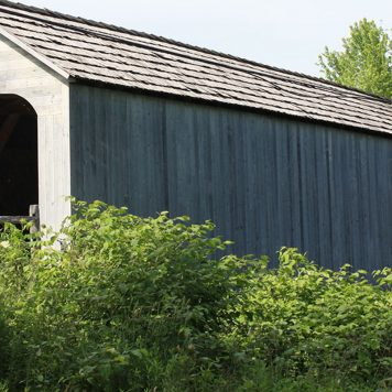
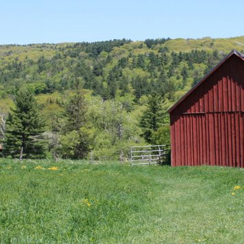
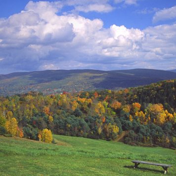
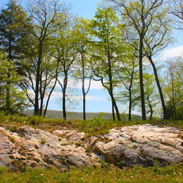
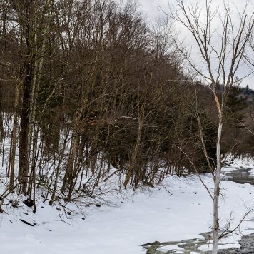
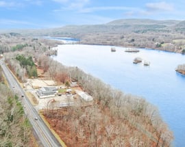
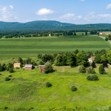
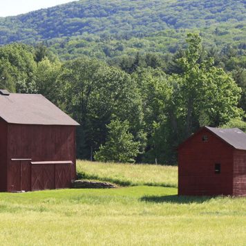
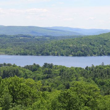
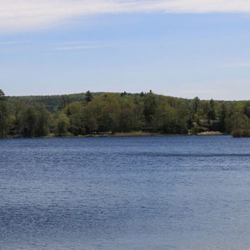
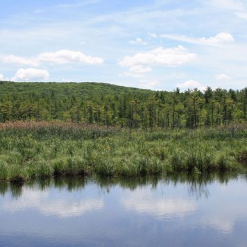
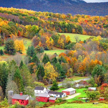
The Berkshire County valley town of Cheshire, boasting about 3,300 residents, derived its name from the county of Cheshire in England. Settled in 1766 by Baptists and officially incorporated in 1793, the town was said to have established the first factory in the western part of the state to manufacture cotton-making machinery. Lime kilns, a tannery, saw and grist mills, forges and glass manufacturing also flourished in the town’s early years. In recent times, rural Cheshire, encompassing 27.5 square miles, has evolved into a recreational/residential haven, particularly for skiers who flock to its slopes and traverse its trails. Situated in the valley of the Hoosic River, the town is bordered to the west by Mount Greylock State Reservation, and the Appalachian Trail crosses through its center. North Mountain looms to the community’s southeast, providing outstanding views. Those who enjoy the great outdoors often spend time on the Ashuwillticook Rail Trail, an 11-mile paved path popular with bikers, walkers, rollerbladers and joggers. Students in town are served by a regional school district formed with neighboring Adams. Municipal resources include the town’s public library which is connected to the town hall and is part of the regional library network, as well as local police, fire and public works. Regional transportation service is available in North Adams and Pittsfield, and Albany International Airport is the nearest option for air travelers.
The Berkshire County valley town of Cheshire, boasting about 3,300 residents, derived its name from the county of Cheshire in England. Settled in 1766 by Baptists and officially incorporated in 1793, the town was said to have established the first factory in the western part of the state to manufacture cotton-making machinery. Lime kilns, a tannery, saw and grist mills, forges and glass manufacturing also flourished in the town’s early years. In recent times, rural Cheshire, encompassing 27.5 square miles, has evolved into a recreational/residential haven, particularly for skiers who flock to its slopes and traverse its trails. Situated in the valley of the Hoosic River, the town is bordered to the west by Mount Greylock State Reservation, and the Appalachian Trail crosses through its center. North Mountain looms to the community’s southeast, providing outstanding views. Those who enjoy the great outdoors often spend time on the Ashuwillticook Rail Trail, an 11-mile paved path popular with bikers, walkers, rollerbladers and joggers. Students in town are served by a regional school district formed with neighboring Adams. Municipal resources include the town’s public library which is connected to the town hall and is part of the regional library network, as well as local police, fire and public works. Regional transportation service is available in North Adams and Pittsfield, and Albany International Airport is the nearest option for air travelers.
The Berkshire County valley town of Cheshire, boasting about 3,300 residents, derived its name from the county of Cheshire in England. Settled in 1766 by Baptists and officially incorporated in 1793, the town was said to have established the first factory in the western part of the state to manufacture cotton-making machinery. Lime kilns, a tannery, saw and grist mills, forges and glass manufacturing also flourished in the town’s early years. In recent times, rural Cheshire, encompassing 27.5 square miles, has evolved into a recreational/residential haven, particularly for skiers who flock to its slopes and traverse its trails. Situated in the valley of the Hoosic River, the town is bordered to the west by Mount Greylock State Reservation, and the Appalachian Trail crosses through its center. North Mountain looms to the community’s southeast, providing outstanding views. Those who enjoy the great outdoors often spend time on the Ashuwillticook Rail Trail, an 11-mile paved path popular with bikers, walkers, rollerbladers and joggers. Students in town are served by a regional school district formed with neighboring Adams. Municipal resources include the town’s public library which is connected to the town hall and is part of the regional library network, as well as local police, fire and public works. Regional transportation service is available in North Adams and Pittsfield, and Albany International Airport is the nearest option for air travelers.
Cheshire
Cheshire is within The Berkshires, Massachusetts and borders .
Loading...
Looking for a home in Cheshire? We can help. Contact us below!
Yes, I would like more information from Sotheby's International Realty. Please use and/or share my information with a Sotheby's International Realty agent to contact me about my real estate needs.
By clicking Send Message, I agree a Sotheby's International Realty Agent may contact me by phone or text message including by automated means about real estate services, and that I can access real estate services without providing my phone number. I acknowledge that I have read and agree to the Terms of Use and Privacy Policy